The places
Pages on each place are being written, one at a time, with checked hours and prices. The tours that go to each of them are already in the collections.
North coast

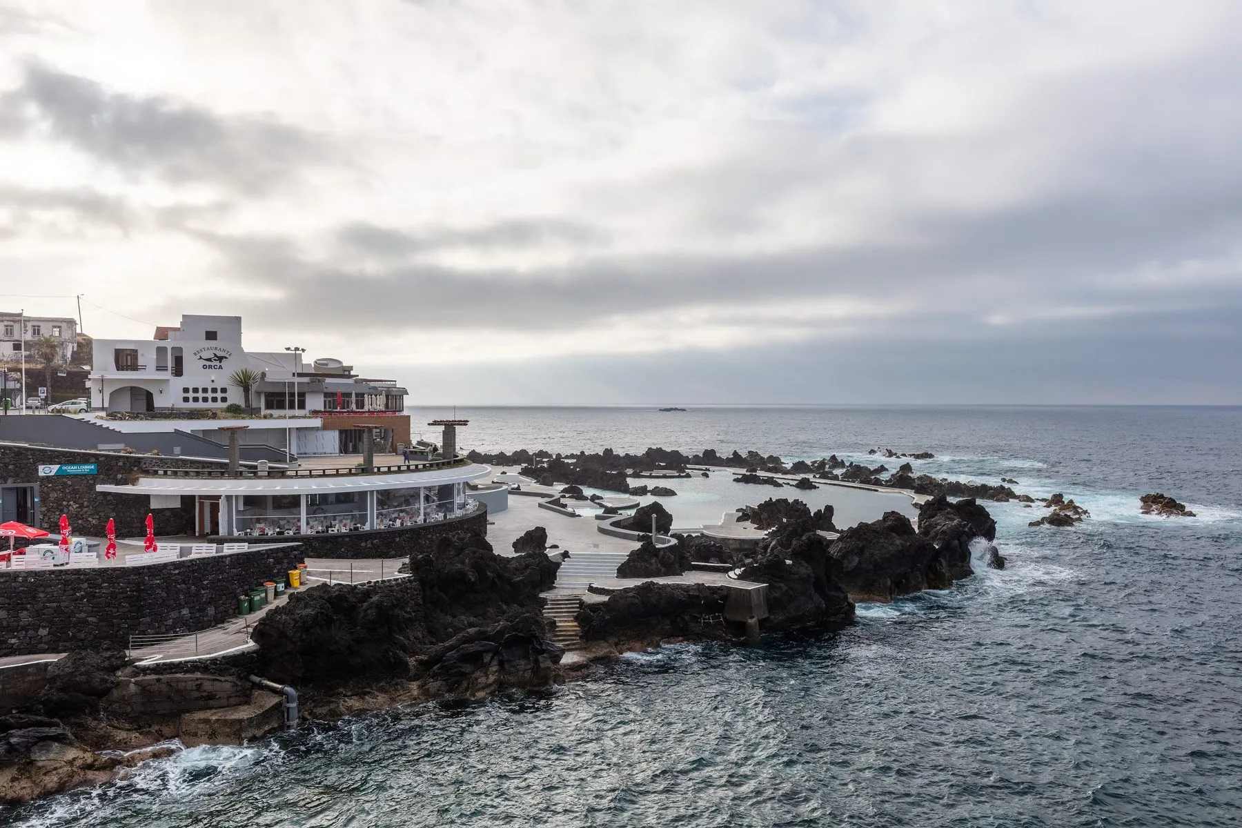
Porto Moniz
Sea pools that formed in an old lava flow, on the north-west corner of the island.

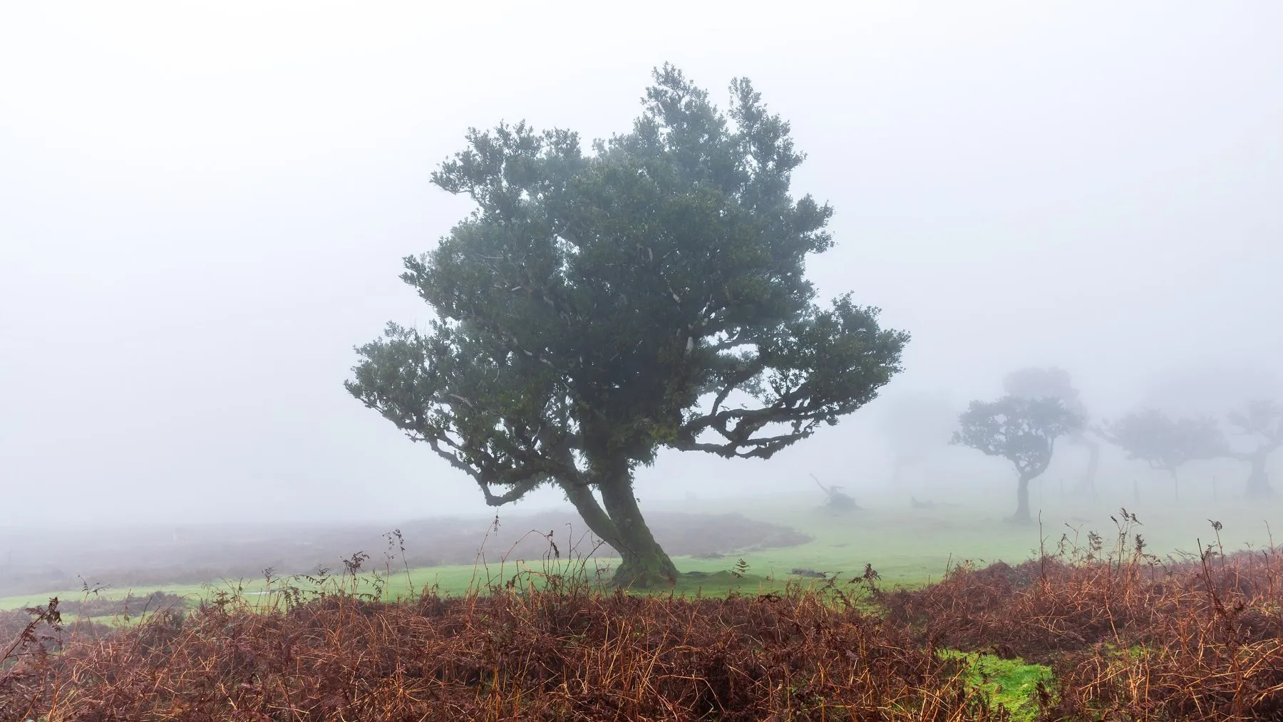
Fanal
Laurel forest on the plateau. The marked route to it, PR 13, runs 10.8 km from Paul da Serra.

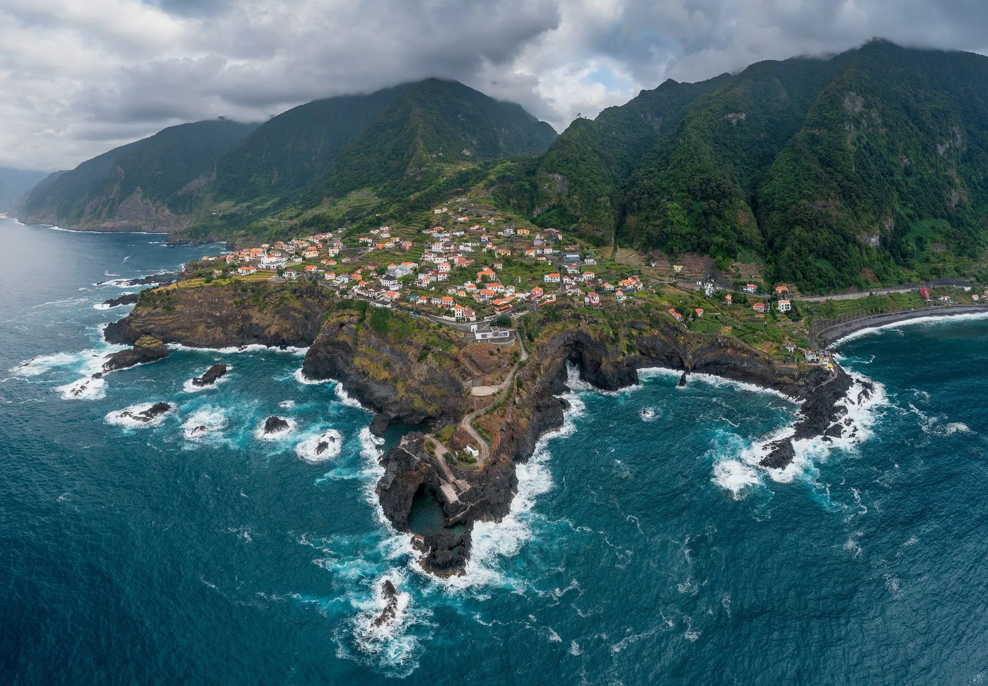
Seixal
A village on a headland of volcanic rock, with pools in the rock below it.

Santana
The north-coast town known for its thatched triangular houses, and the start of the Caldeirão Verde levada.
South coast

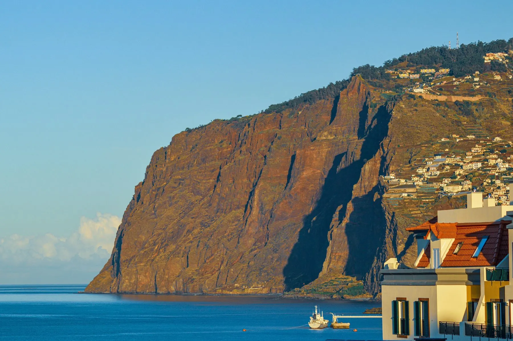
Cabo Girão
A glass platform on a 580 m cliff west of Câmara de Lobos.

Ponta do Sol
A village at the mouth of a valley on the south-west coast, with a pebble beach and a pier.

Câmara de Lobos
A fishing harbour west of Funchal, painted boats and poncha bars.
Centre and peaks

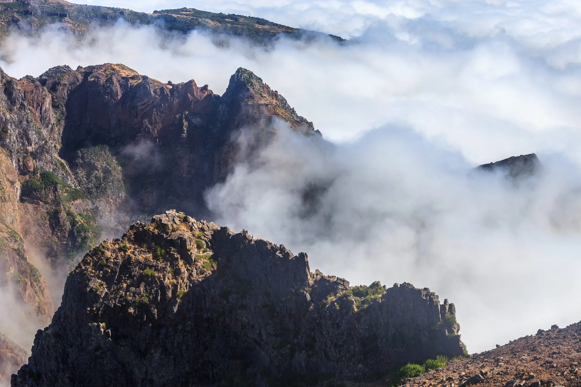
Pico do Arieiro
The third highest peak, 1,818 m, reached by road. PR 1 starts here for Pico Ruivo.

Pico Ruivo
The highest point of the island, 1,862 m, on foot only: from Achada do Teixeira or from Pico do Arieiro.

Curral das Freiras
A village inside a ring of mountains. PR 2 walks out of it to Boaventura, 10.3 km over the ridge.
East and Porto Santo

Ponta de São Lourenço
The eastern peninsula. PR 8 goes 4 km out to Cais do Sardinha and the same distance back.

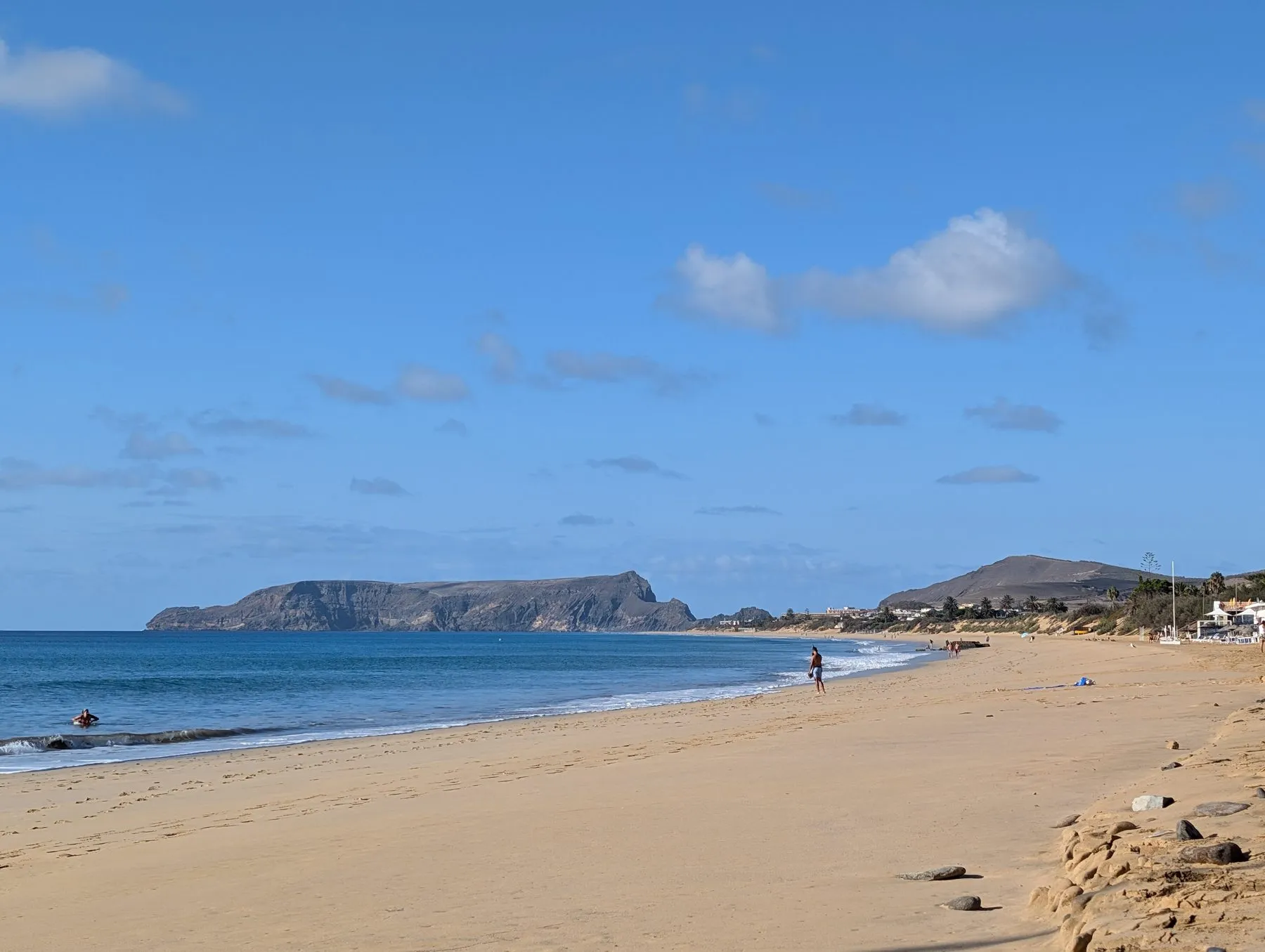
Porto Santo
The second island, 9 km of sand, reached by ferry from Funchal.